

Quick answer
The Cabo San Lucas cruise port operates from Terminal Marítima in the Marina district, where tender boats deliver passengers to a central pier at 23450 Cabo San Lucas, B.C.S., Mexico. The terminal is open 24 hours daily with free port access, though individual tender services are managed by your cruise line. The marina terminal sits approximately 800 meters from the downtown core, reachable on foot in under fifteen minutes via the waterfront promenade.
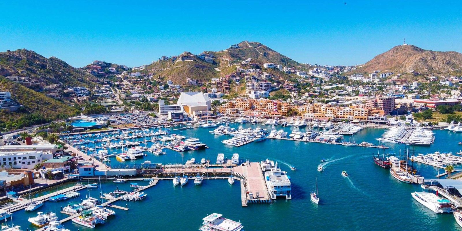
Cabo San Lucas remains one of the few major Mexican cruise destinations without a traditional pier, requiring every arriving vessel to anchor offshore in the bay and ferry passengers via tender boats. This tender-only operation places unusual importance on understanding the terminal layout before you disembark, since confusion at the landing point can cost you thirty minutes of shore time while queues build behind you. The cabo san lucas cruise port map centers on a single passenger arrival pier extending from the marina complex, where tenders deposit visitors into a covered staging area managed by Administración Portuaria Integral. From this arrival point, passengers encounter three exit routes: a northern path leading directly to the marina boardwalk and luxury yacht slips, a western exit routing through the official terminal building where restrooms and information kiosks are located, and a southern pathway connecting to the Plaza Bonita shopping center. Most first-time visitors instinctively follow the crowd toward Plaza Bonita, but the marina boardwalk route delivers you to downtown Cabo via a scenic waterfront promenade in roughly twelve minutes, bypassing the commercial gauntlet entirely. The terminal building itself occupies a compact footprint at Terminal Marítima de Cabo San Lucas, housing taxi dispatch, shuttle coordination and a port authority office reachable at +52 624 143 0186 during business hours. No security checkpoint exists at the exit, and the port does not charge an entrance or departure fee, though your cruise line controls tender boat capacity and timing. The tender schedule typically begins around 08:00 and runs until all passengers return, with early arrivals avoiding the midday bottleneck when multiple ships anchor simultaneously. Practical navigation depends on recognizing that the marina terminal functions as a threshold rather than a destination. The port layout funnels foot traffic toward three commercial corridors, but downtown Cabo San Lucas, Médano Beach and Land's End water taxis all lie within walking range once you clear the arrival zone. The cabo san lucas cruise port map essentially compresses into one decision point at the tender pier: turn left for the marina promenade and town center, turn right for taxis and shuttles to distant beaches, or walk straight through the terminal building to reach Plaza Bonita. Your shore excursion meeting points, if booked independently, typically cluster near the information kiosk inside the western terminal exit, not at the tender pier itself.
“The tender-only operation places unusual importance on understanding the terminal layout before you disembark, since confusion at the landing point can cost you thirty minutes of shore time.”
Navigating the Cabo San Lucas Cruise Port Map and Arrival
The Terminal Marítima de Cabo San Lucas is located directly at the Marina, serving as the central hub for cruise ship passengers. Because cruise ships anchor offshore, most visitors arrive via tender boats operated by the cruise lines, which deposit passengers directly into the heart of the marina area.
Walk from tender pier to Marina main boardwalk
Designated taxi zones outside Terminal Marítima
Tender boat from cruise ship to Terminal Marítima
Best Time to Arrive Using Your Cabo San Lucas Cruise Port Map
The best arrival window is 08:00–10:00 to avoid cruise ship tender queues and midday heat. Planning your visit during this period ensures a smoother transition from the ship to the port area.
High Season (Dec–Mar)
High volume of cruise arrivalsWarm, pleasant, highs near 78°F
Expect larger crowds and busier shore excursions during these peak winter months.
Shoulder Season (Apr–May, Oct–Nov)
Moderate crowdsWarmer, highs near 82°F–85°F
This window provides a balance between manageable ship traffic and favorable weather conditions.
Weekday Mornings
Minimal congestion—
Arriving between 08:00 and 10:00 allows you to disembark before the peak heat and afternoon port congestion.
Verdict: For the most efficient experience, aim for an arrival between 08:00–10:00 during the shoulder months of April, May, October, or November.
Operating Hours for the Cabo San Lucas Cruise Port Map
The Terminal Marítima de Cabo San Lucas operates on a 24-hour schedule throughout the week to accommodate cruise ship tenders and maritime traffic. The port facility remains accessible at all times.
| Monday | 00:00–23:59 | |
|---|---|---|
| Tuesday | 00:00–23:59 | |
| Wednesday | 00:00–23:59 | |
| Thursday | 00:00–23:59 | |
| Friday | 00:00–23:59 | |
| Saturday | 00:00–23:59 | |
| Sunday | 00:00–23:59 |
Entrance Fees for the Cabo San Lucas Cruise Port Map
Access to the Cabo San Lucas cruise port area is provided at no cost. Travelers should be aware that while the terminal entry is free, individual service providers or cruise lines may apply specific fees for tender boat operations.
A typical adult pays 0 USD for port entry, though individual tender boat fees may apply depending on the cruise line.
Key Landmarks on the Cabo San Lucas Cruise Port Map
The Cabo San Lucas cruise port map centers around the Marina and the adjacent terminal facilities. These zones serve as the primary pedestrian hub for arriving passengers.
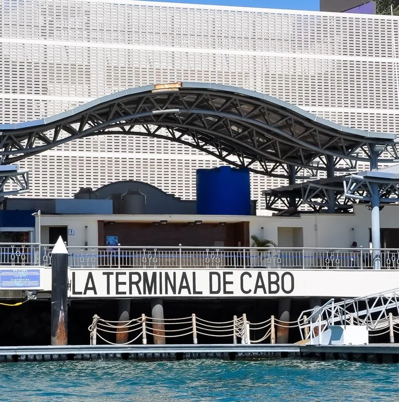
Terminal Marítima de Cabo San Lucas
The main cruise terminal building facilitates tender operations and provides essential logistical support for arriving ships.
Enter early to clear the terminal building before peak tender traffic.
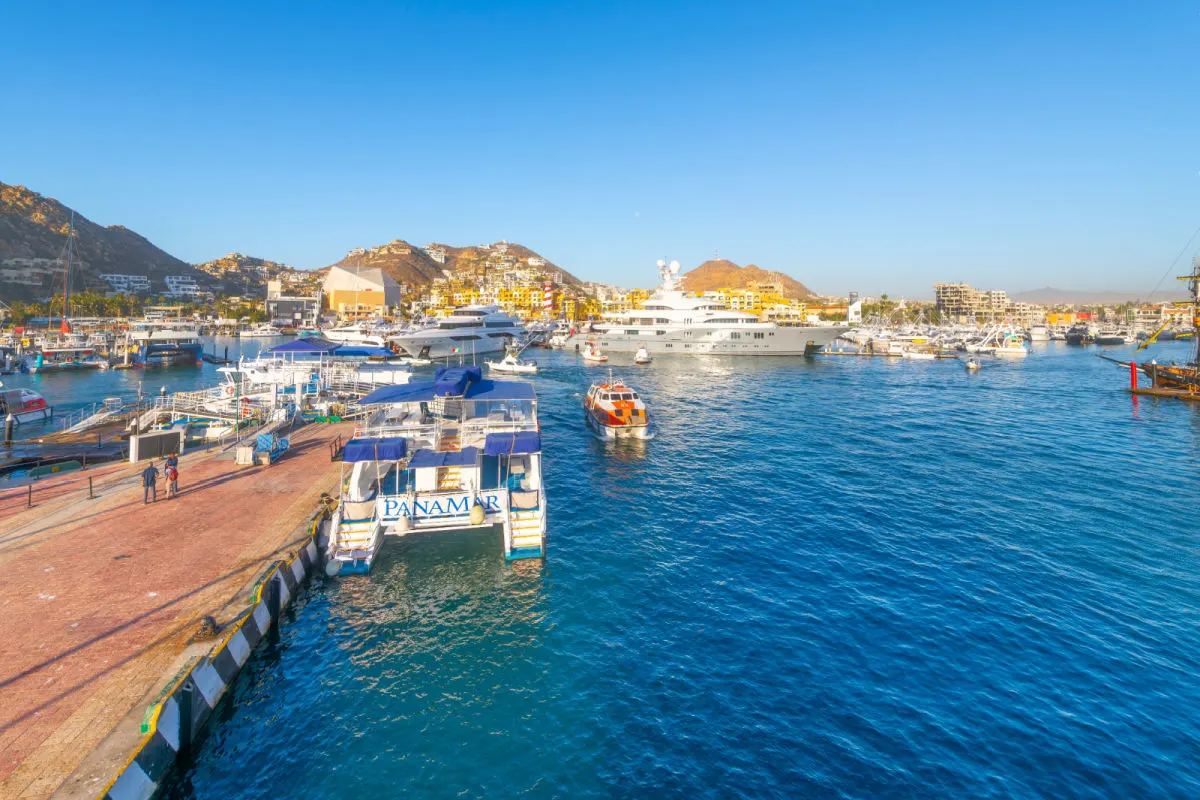
Marina Boardwalk
This primary pedestrian thoroughfare encircles the water, connecting the terminal to local shops, restaurants, and excursion docks.
Walk the perimeter clockwise to see the harbor fleet and boats.
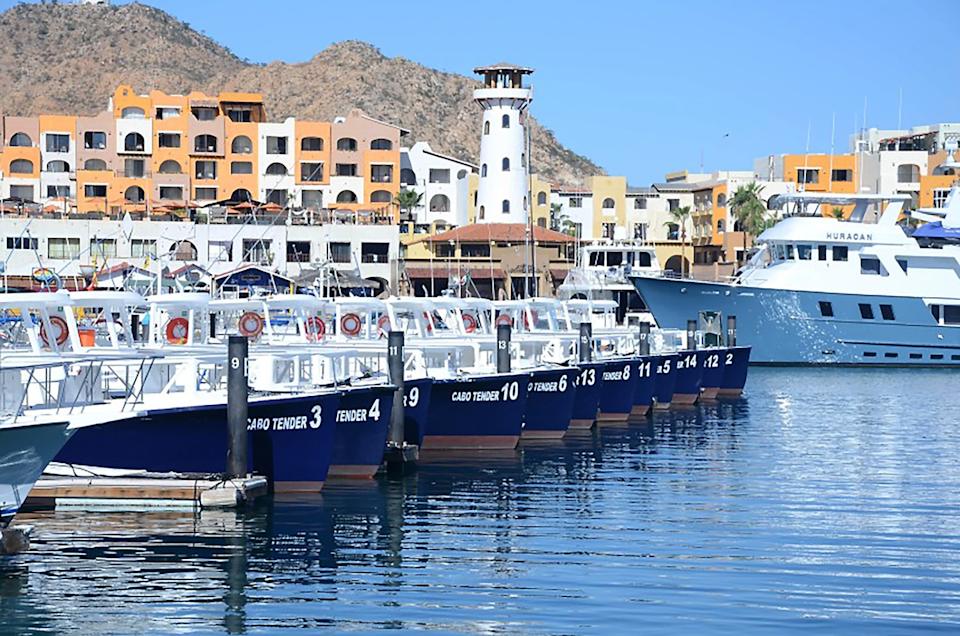
Cruise Tender Docks
These designated zones are where tender boats drop off passengers arriving from larger ships anchored in the bay.
Observe tender boat traffic from the main pier for water activity.
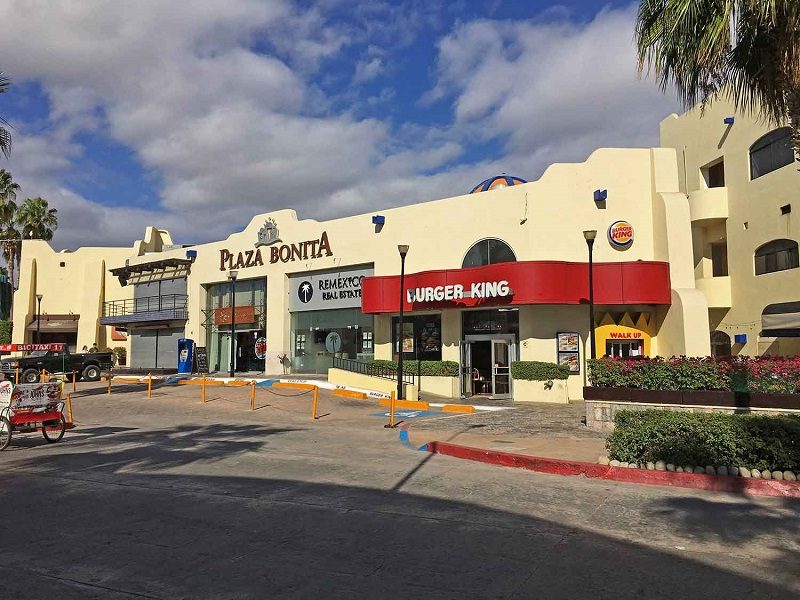
Plaza Bonita
Located adjacent to the marina, this shopping and commercial area provides a central point for navigation and services.
Use the plaza fountain as a central meeting point for groups.
Pre-Visit Checklist for Using a Cabo San Lucas Cruise Port Map
Preparation ensures smooth tender transfers and efficient exploration once you reach the marina terminal.
-
Carry a printed or offline port map — Cellular service can be unreliable during peak tender hours and along the waterfront.
-
Bring small-denomination pesos or USD cash — Tender boat operators and water-taxi services often prefer or require cash payment.
-
Pack reef-safe sunscreen and a hat — The port area offers minimal shade and UV exposure intensifies between 10:00 and 14:00.
-
Download shore excursion confirmations offline — Wifi at the terminal is inconsistent and voucher retrieval delays can cause missed departure times.
-
Wear closed-toe water shoes if snorkeling — Rocky beach entries near the marina require foot protection that sandals do not provide.
-
Keep your ship ID card accessible — Re-boarding tenders require ID verification and some operators check before allowing return trips.
Check availability
Frequently asked questions about cabo san lucas cruise port map
Everything you need to know about cabo san lucas cruise port map